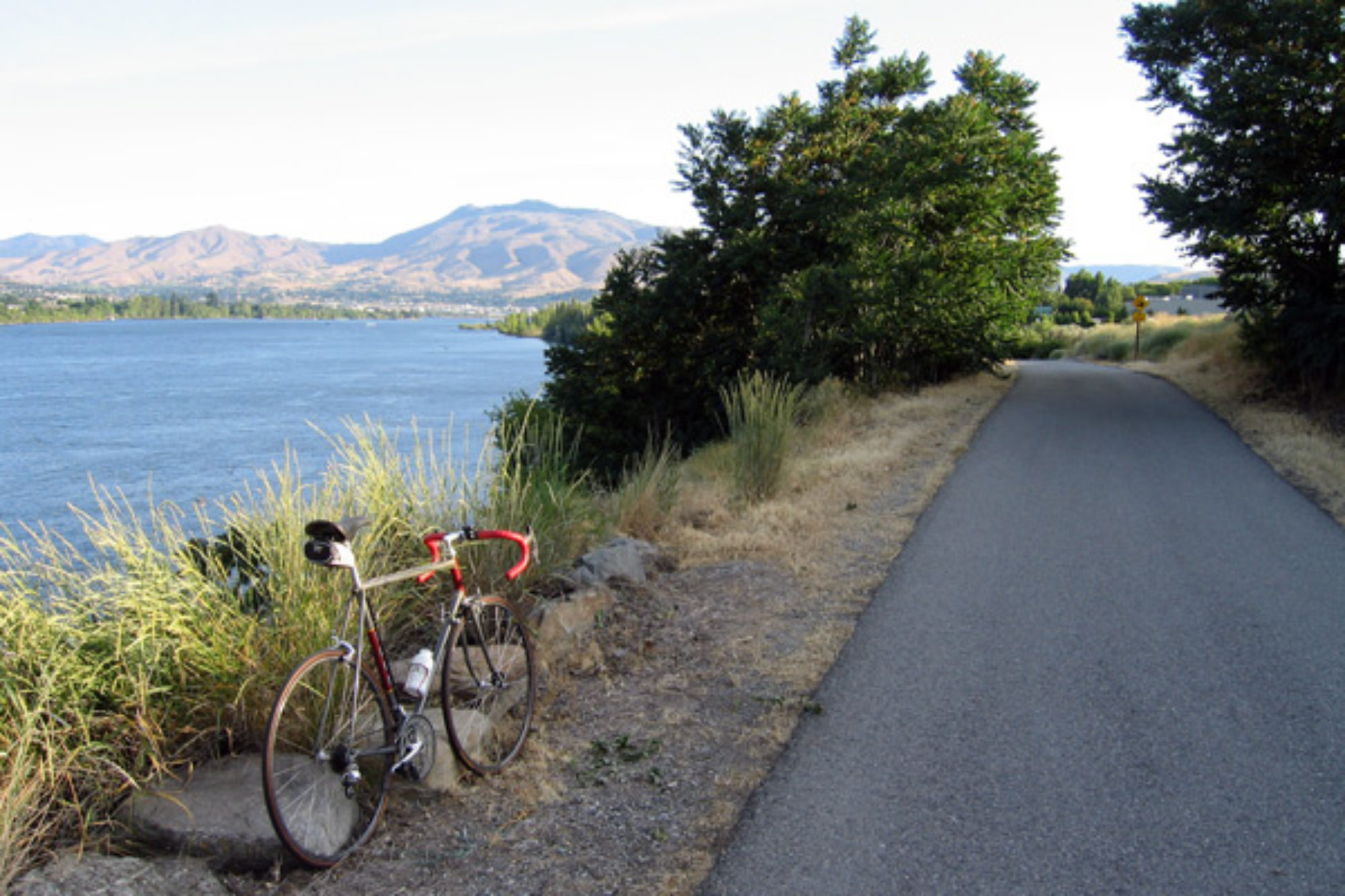
This morning was another “blue bird sky” day. Not a cloud in sight. Being so close to the river also brought a heavy dew and my tent was soaked. I would not be getting an early start today waiting for everything to dry out.
Having no guide maps, today was a bit of a mystery as to what I would be riding today. All I knew for sure was that I would ride out of the Hoback River Canyon and that the Wyoming Hwy map said that I had to ride up to “The Rim”.
Riding through the canyon continued to be great riding. The river is a classic trout river and the surroundings are timber lined. Worthy of a trip if anyone is ever in this part of the world!
After about 10 miles I found out what the rest of Wyoming might be like. Sage brush prairie. Lots of sage brush!
The first “town” was Bondurant. I don’t think I saw a living soul as I rode through. I had planned on getting some food and water for the rest of the day since I still had 32 miles to go to Daniel, Wyoming and it appeared that there wasn’t any towns until Daniel. Just as I was giving up hope, I came to a small diner about 5 miles out of Bondurant. Thank goodness.
Now fueled up and topped off with water I began the climb to “The Rim”. It was a long steady climb but not too steep until the last mile or so and even then I still did not need the small chain ring (which I haven’t even used since Washington). The upper portion of the Rim offer a brief respite from the sage.

Once at the top, it was clear sailing to Daniel. Downhill for nearly 10 miles ….. and a tailwind! I arrived in Daniel around 2:45. Daniel was not what I expected though. It was more of a Hwy junction than a town. All there was was a gas station, a restaurant, a convenience store, a bar, and an RV Park. Check, check, check, and check. I would stay here for the night. Seeing as there ins’t much to do in Daniel, I think I stayed in the bar for about 3 hours having food and beer. I even had a Drambuie for dessert!
I met lots of interesting people. I learned about guiding on the Green River from some fishing guides and about the big Mountain Man Rendezvous event in nearby Pinedale.
I also met a family passing through. The Gregersons. They asked about my trip. They were from Grand Junction so I asked them about the route and road conditions since I was headed that way. They said that they really hadn’t ever looked at the road from a bicyclist perspective before but they offered to take me out to dinner when I got there. I said that wasn’t necessary but we exchanged contact information “just in case”.
Later in the evening I started getting these text messages from the Gregerson’s with incredibly detailed recon about the road to Grand Junction. They would send me info for each stretch of road as they passed through it. It was fantastic. Road and shoulder width, pavement condition, traffic volume, and even where I would need extra water. I think I am ready for that stretch when I get there in a few days now. Thank you to the Gregersons. I will most certainly look them up when I get there!


 While Yellowstone NP has amazing geology and scenery, Grand Teton has majestic mountains!
 The mountains tease you! They are an amazing sight from afar, but keep getting better as you get further into the park.
 As hoped for, I arrived at the Coulter Bay campground around 2:30 and parked the bike there for the day.
 There is a reason Yellowstone is the first National Park. It is full of wonderful things. I would not see the whole park since I have been here many times but I would stop at my favorite places though. But first, I met a milestone by leaving Montana and entered Wyoming. Leaving Montana is always bittersweet for me but the show must go on.
 The first people to ever see this must have been blown away. It seems to me that this could not really exist, yet it does right here in Yellowstone. Note: google it to see better aerial photos and you will see what I mean.
 Now after 56 miles, I would have to head for Grant Village. And over the continental divide…… twice! And it was already 5:45 in the evening. I think it is going to be a long day.
 After getting to Grant Village and getting my camp spot at 8:00, my day was still not done. I went to get some dinner at one of the village restaurants, then got a much needed shower and finally got back to my camp spot at 9:30.
 We all got together on a few occasions had had a good time.
 Even though there wasn’t any sign to designate the top of the climb, there was the favorite sign that cyclists love to see!
 I would make Ennis by 1:00 easily now. Flying down the downhill to Ennis was fast and effortless. I ended up at the Hwy intersection in town and bought some drinks. By the time I got out of the store, a familiar pickup truck was there. My Parents. They had driven the 50 miles from Bozeman to meet me and drive me back to their house.
 If you look carefully, you can see the Beaverhead River flowing a mere 40 feet from the lounge building. What a prime location to camp.
 Big Hole Pass was now the new high point of elevation for the trip. It seems every new Pass was higher than the last. With Yellowstone and Colorado further down the road, I don’t see that changing anytime soon.
 You can really get a sense of what life there was like. And apparently it was pretty wild with nightly gun fights in the saloon and the streets.
 The Pass was a new high point for the trip at 7241 feet, but I was also surprised that I had crossed the continental divide for the 3rd time on this tour. And that I was also on the Montana-Idaho border again.
 It even had a nice seat to sit down on while I waited the thundercell out!